| Anglezarke | |
|---|---|
 | |
Location within Lancashire | |
| Population | 23 (2001) |
| OS grid reference | SD621171 |
| Civil parish |
|
| District | |
| Shire county | |
| Region | |
| Country | England |
| Sovereign state | United Kingdom |
| Post town | CHORLEY |
| Postcode district | PR6 |
| Dialling code | 01257 |
| Police | Lancashire |
| Fire | Lancashire |
| Ambulance | North West |
| UK Parliament | |
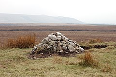
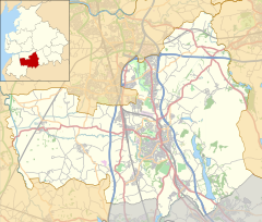
Anglezarke is a sparsely populated civil parish in the Borough of Chorley in Lancashire, England. It is an agricultural area used for sheep farming and is also the site of reservoirs that were built to supply water to Liverpool. The area has a large expanse of moorland with many public footpaths and bridleways. The area is popular with walkers and tourists; it lies in the West Pennine Moors in Lancashire, sandwiched between the moors of Withnell and Rivington, and is close to the towns of Chorley, Horwich and Darwen.[1] At the 2001 census it had a population of 23, but at the 2011 census the population was included within Heapey civil parish. The area was subjected to depopulation after the reservoirs were built.
- ^ Anglezarke Township Boundaries, GenUKI, retrieved 21 November 2010

