Arrah
Ara | |
|---|---|
| Ara | |
Prominent places of Ara | |
| Coordinates: 25°33′05″N 84°39′37″E / 25.55139°N 84.66028°E | |
| Country | |
| State | |
| Division | Patna |
| District | Bhojpur |
| Named for | Aranya Devi |
| Government | |
| • Type | Municipal Corporation |
| • Body | Arrah Municipal Corporation |
| • Mayor | Indu Devi[2] |
| • MP | Sudama Prasad |
| • MLA | Amrendra Pratap Singh |
| Area | |
| • Metro | 49 km2 (18.919 sq mi) |
| Population (2011) | |
• City | 261,430[1] |
| Demonym | Bhojpuriya |
| Language | |
| • Official | Hindi[3] |
| • Additional official | Urdu[3] |
| • Regional | Bhojpuri |
| Time zone | UTC+5:30 (IST) |
| PIN Code | 802301, 802302 & 802312 |
| Telephone code | +91-6182 |
| Vehicle registration | BR-03 |
| Railway Station | Ara Junction |
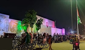
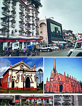
Arrah (also transliterated as Ara)[4] is a city and a municipal corporation in Bhojpur district (formerly known as Shahabad district) in the Indian state of Bihar. It is the headquarters of Bhojpur district, located near the confluence of the Ganges and Sone rivers, some 24 miles (39 km) from Danapur and 36 miles (58 km) from Patna.[5]
- ^ "Arrah City Population Census 2011–2019 | Bihar". www.census2011.co.in.
- ^ "e-Municipality Bihar". nagarseva.bihar.gov.in. Retrieved 4 March 2022.
- ^ a b "52nd Report of the Commissioner for Linguistic Minorities in India" (PDF). nclm.nic.in. Ministry of Minority Affairs. Archived from the original (PDF) on 25 May 2017. Retrieved 9 August 2020.
- ^ "Bhojpur district full information". www.bihar.com.
- ^ "Maps, Weather, and Airports for Ara, India". www.fallingrain.com.


