| Aspley Guise | |
|---|---|
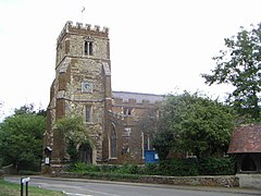
 St Botolph's Church | |
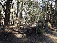
 Aspley Woods at the southern corner of the civil parish | |
Location within Bedfordshire | |
| Population | 2,195 (2011 census)[1] |
| OS grid reference | SP942359 |
| • London | 48 miles (77 km) |
| Unitary authority | |
| Ceremonial county | |
| Region | |
| Country | England |
| Sovereign state | United Kingdom |
| Post town | MILTON KEYNES |
| Postcode district | MK17 |
| Police | Bedfordshire |
| Fire | Bedfordshire and Luton |
| Ambulance | East of England |
Aspley Guise is a village and civil parish in the west of Central Bedfordshire, England. In addition to the village of Aspley Guise itself, the civil parish also includes part of the town of Woburn Sands, the rest of which is in the City of Milton Keynes in Buckinghamshire. Together with Woburn Sands and Aspley Heath, it forms part of the Milton Keynes urban area.[2] It is centred 6 miles (9.7 km) east southeast of Central Milton Keynes and 1 mile (1.6 km) south of the M1 junction 13. It has its own railway station on the Marston Vale Line, and an historic centre with 29 listed buildings.
- ^ UK Census (2011). "Local Area Report – Aspley Guises civil parish (E04011926)". Nomis. Office for National Statistics. Retrieved 10 December 2023.
- ^ See map at UK Census (2011). "Local Area Report – Milton Keynes built-up area (E34005056)". Nomis. Office for National Statistics. Retrieved 3 August 2020.

