Atotonilco El Alto | |
|---|---|
Municipality and town | |
 | |
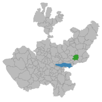
 Location of the municipality in Jalisco | |
| Coordinates: 20°32′N 102°30′W / 20.533°N 102.500°W | |
| Country | Mexico |
| State | Jalisco |
| Area | |
| • Total | 510.9 km2 (197.3 sq mi) |
| • Town | 6.25 km2 (2.41 sq mi) |
| Population (2020 census)[1] | |
| • Total | 64,009 |
| • Density | 130/km2 (320/sq mi) |
| • Town | 28,678 |
| • Town density | 4,600/km2 (12,000/sq mi) |
| Website | http://www.atotonilco.gob.mx |
Atotonilco El Alto is a town and municipality, in Jalisco in Los Altos (Jalisco) region in central-western Mexico.[2] The municipality covers an area of 510.9 km2.
Atotonilco (pronounced ah-toh-toh-NEAL-co) means "place of hot waters", in Náhuatl. "El Alto"("The High One") was later added in honor of those who died in the Cristero War in the early 1920s.
As of 2005, the municipality had a total population of 51,798.[3]
- ^ Citypopulation.de Population of Atotonilco municipality with localities
- ^ "Zona Los Altos de Jalisco". Retrieved 18 February 2015.
- ^ "Atotonilco El Alto". Enciclopedia de los Municipios de México. Instituto Nacional para el Federalismo y el Desarrollo Municipal. Retrieved April 13, 2009.


