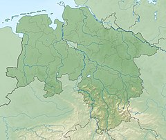
| Aue | |
|---|---|
 The Aue in Bülkau | |
| Location | |
| Country | Germany |
| State | Lower Saxony |
| District | Cuxhaven |
| Reference no. | DE: 5988 |
| Physical characteristics | |
| Source | |
| • location | Pumping station on the Balksee in the parish of Wingst |
| • coordinates | 53°42′13″N 9°00′36″E / 53.70362°N 9.01004°E |
| • elevation | 3 m above sea level (NN) |
| Mouth | |
• location | Near Neuhaus (Oste) into the Oste |
• coordinates | 53°48′30″N 9°02′29″E / 53.80825°N 9.04140°E |
• elevation | 1 m above sea level (NN) |
| Length | 19.8 km (12.3 mi) [1] |
| Basin size | 122 km2 (47 sq mi) [1] |
| Basin features | |
| Progression | Oste→ Elbe→ North Sea |
The Aue is a left, southwestern, tributary of the Oste in northern Lower Saxony, Germany. It is about 20 kilometres (12 mi) long.[1]
