| Auyuittuq National Park | |
|---|---|
| Parc national Auyuittuq | |
 Pangnirtung Fiord and the Weasel River Valley | |
| Location | Nunavut, Canada |
| Nearest city | Pangnirtung, Qikiqtarjuaq |
| Coordinates | 67°53′N 65°01′W / 67.883°N 65.017°W |
| Area | 21,470 km2 (8,290 sq mi) |
| Established | 1972 |
| Visitors | 256 (in 2022–23[2]) |
| Governing body | Parks Canada |
 | |
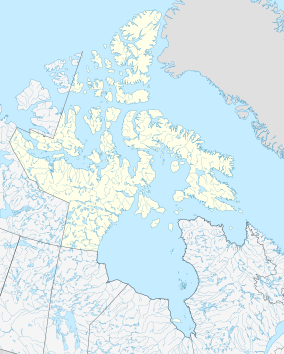
Auyuittuq National Park (Inuktitut: ᐊᐅᔪᐃᑦᑐᖅ, IPA: [aujuitːuq], "the land that never melts") is a national park located on Baffin Island's Cumberland Peninsula, in the Qikiqtaaluk Region of Nunavut, the largest political subdivision of Canada. The park was initially known as Baffin Island National Park when it was established in 1972, but the name was changed in 1976 to its current name to better reflect the region and its history. It features many terrains of Arctic wilderness, such as fjords, glaciers, and ice fields. Although Auyuittuq was established in 1972 as a national park reserve, it was upgraded to a full national park in 2000.
- ^ "Protected Planet | Auyuittuq National Park Of Canada". Protected Planet. Retrieved 2020-11-05.
- ^ Canada, Parks. "Parks Canada attendance 2022_23 - Parks Canada attendance 2022_23 - Open Government Portal". open.canada.ca. Retrieved 2024-05-07.

