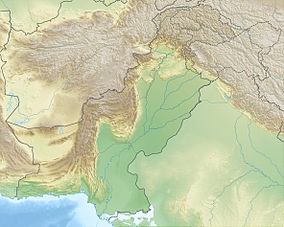
| Ayubia National Park ایوبیہ ملی باغ | |
|---|---|
IUCN category V (protected landscape/seascape) | |
 A view of Ayus pine forests | |
| Location | Abbottabad, Pakistan |
| Coordinates | 33°51′54.83″N 73°8′19.57″E / 33.8652306°N 73.1387694°E |
| Area | 33.12 km2 (12.79 sq mi) |
| Elevation | 8,000 ft (2,400 m) |
| Established | 1984 |
| Visitors | 250000 |
| Governing body | Wildlife and Parks Department, Government of Khyber Pakhtunkhwa |

Ayubia National Park (Urdu: ایوبیہ ملی باغ), also known as Ayubia (Urdu: ایوبیہ), is a protected area of 3,312 hectares (33 km2)[1] located in Abbottabad District, Khyber Pakhtunkhwa province, Pakistan. It was declared a national park in 1984.[2] Ayubia was named after Muhammad Ayub Khan (1958–1969), second President of Pakistan. The area supports temperate coniferous forest and temperate broadleaf and mixed forest ecoregion habitats, with an average elevation of 8,000 feet (2,400 m) above sea level.[3] Ayubia National Park is surrounded by seven major villages and three small towns of Thandiani, Nathiagali and Khanspur.[4] The park has been developed as a resort complex from a combination of four mini resorts of Khaira Gali, Changla Gali, Khanspur and Ghora Dhaka in Galyat.[5] Currently, it is managed by the Wildlife and Parks Department of Government of Khyber Pakhtunkhwa.
- ^ Cite error: The named reference
wwf_pandawas invoked but never defined (see the help page). - ^ Cite error: The named reference
parc_gov_reportwas invoked but never defined (see the help page). - ^ Cite error: The named reference
tourism_governmentwas invoked but never defined (see the help page). - ^ Cite error: The named reference
wildlifeofpakistanwas invoked but never defined (see the help page). - ^ Cite error: The named reference
nathiagaliwas invoked but never defined (see the help page).
