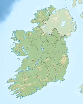
| Ballyhoura Mountains | |
|---|---|
| Irish: An Sliabh Riabhach | |
 Black Rock on the Ballyhoura Mountain Range | |
| Highest point | |
| Peak | Seefin |
| Elevation | 528 m (1,732 ft) |
| Coordinates | 52°18′N 8°32′W / 52.300°N 8.533°W |
| Geography | |
| Country | Republic of Ireland |
| Provinces of Ireland | Munster |

The Ballyhoura Mountains (Irish: An Sliabh Riabhach) are in south-east County Limerick and north-east County Cork in central Munster, Ireland, running east and west for about 6 miles on the borders of both counties.[1]
- ^ "Limerick". Atlas and Cyclopedia of Ireland (1900) (Library Ireland). Retrieved 28 June 2008.
 This article incorporates text from this source, which is in the public domain.
