Bambalapitiya
බම්බලපිටිය பம்பலப்பிட்டி | |
|---|---|
 Railway tracks running along Marine Drive, Bambalapitiya | |
| Coordinates: 6°53′20″N 79°51′24″E / 6.88889°N 79.85667°E | |
| Country | Sri Lanka |
| Province | Western Province |
| District | Colombo District |
| Time zone | UTC+5:30 (Sri Lanka Standard Time Zone) |
| Postal Code | 00400 [1] |
Bambalapitiya is a southern coastal neighbourhood of Colombo, Sri Lanka.[2]
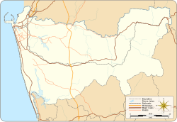
The area also known as Colombo 4, spans about 1.5 km2 (370 acres) along Galle Road. The western boundary of the suburb is the Indian Ocean and it is bordered to the east by Havelock Town, the north by Kollupitiya, and to the south by Wellawatte. It falls within the Kollupitiya (Colpetty) Ward of the Colombo Municipal Council.
- ^ "Bambalapitiya (None) – Sri Lanka Postal Codes". Mohanjith. Archived from the original on 13 September 2010. Retrieved 20 September 2010.
- ^ Wright, Arnold, ed. (1999). Twentieth Century Impressions of Ceylon: Its History, People, Commerce, Industries, and Resources. Asian Educational Services. p. 389. ISBN 9788120613355.
