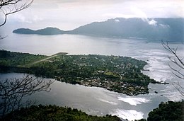
 Banda Neira in the late 1990s viewed from Gunung Api | |
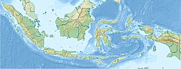
 Map of Banda Islands | |
| Geography | |
|---|---|
| Location | Banda Sea |
| Coordinates | 4°31′30″S 129°52′17″E / 4.52500°S 129.87139°E |
| Archipelago | Banda Islands |
| Area | 3 km2 (1.2 sq mi) |
| Length | 3.3 km (2.05 mi) |
| Width | 1.3 km (0.81 mi) |
| Highest elevation | 250 m (820 ft) |
| Highest point | Papenberg |

Banda Neira (also known as Pulau Neira) is an island in the Banda Islands, Indonesia.[1] It is administered as part of the administrative Banda Islands District (Kecamatan Kepulauan Banda) within the Central Maluku Regency in the province of Maluku. To the south is the main town of the same name, which is the largest town in the archipelago with around 7,000 inhabitants.
- ^ Cribb, Robert (2013-02-01). Historical Atlas of Indonesia. Routledge. p. 109. ISBN 9781136780578.
