Banff Trail | |
|---|---|
Neighbourhood | |
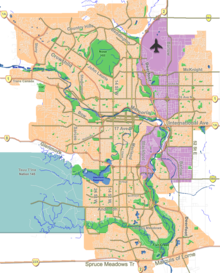
Location of Banff Trail in Calgary | |
| Coordinates: 51°04′31″N 114°06′46″W / 51.07528°N 114.11278°W | |
| Country | |
| Province | |
| City | |
| Quadrant | NW |
| Ward | 7 |
| Established | 1952 |
| Annexed | 1910 |
| Government | |
| • Mayor | Jyoti Gondek |
| • Administrative body | Calgary City Council |
| • Councillor | Terry Wong |
| Area | |
| • Total | 2.3 km2 (0.9 sq mi) |
| Elevation | 1,105 m (3,625 ft) |
| Population (2006)[2] | |
| • Total | 3,639 |
| • Average Income | $49,996 |
| Website | Banff Trail Community Association |
Banff Trail is a residential neighbourhood in the northwest quadrant of Calgary, Alberta. It is located northeast of the intersection of Crowchild Trail and Trans-Canada Highway, east of McMahon Stadium and the University of Calgary. The Banff Trail station of the C-train LRT system serves the community, which contains a large motel village in the southwest corner.
It is named for the town of Banff, which in turn takes its name from Banffshire, Scotland. The adjoining Highway 1 connects the city of Calgary to Banff and Banff National Park. The community has an Area redevelopment plan in place.[3]
- ^ "Calgary Elections". City of Calgary. 2017. Retrieved November 12, 2017.
- ^ Cite error: The named reference
citywas invoked but never defined (see the help page). - ^ City of Calgary Planning (2005). "Banff Trail Area Redevelopment Plan" (PDF). Archived from the original (PDF) on 2008-04-11. Retrieved 2007-05-09.
