Banjul
ߓߊ߲߬ߖߎߟ Banjul 𞤄𞤢𞤲𞥆𞤶𞤵𞤤𞤵 Bannjulu | |
|---|---|
 | |
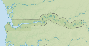
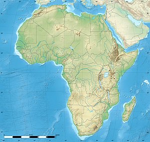
Location of Banjul in The Gambia | |
| Coordinates: (City Hall of Banjul) 13°27′29″N 16°34′43″W / 13.45806°N 16.57861°W | |
| Country | The Gambia |
| Division | Banjul |
| Founded | 23 April 1816 as Bathurst |
| Government | |
| • Mayor | Rohey Malick Lowe |
| Area | |
| 12 km2 (5 sq mi) | |
| • Urban | 93 km2 (36 sq mi) |
| Elevation | 0 m (0 ft) |
| Population (2013 census) | |
| 31,301 | |
| • Density | 2,600/km2 (6,800/sq mi) |
| • Urban | 413,397 |
| • Urban density | 4,400/km2 (12,000/sq mi) |
| Time zone | UTC±00:00 (GMT) |
| HDI (2017) | 0.552[1] medium |
| Website | www |
Banjul (UK: /bænˈdʒuːl/,[2][3] US: /ˈbɑːndʒuːl/),[2][3][4][5] officially the City of Banjul, is the capital of The Gambia. It is the centre of the eponymous administrative division which is home to an estimated 400,000 residents, making it The Gambia's largest and most densely populated metropolitan area. The city Banjul is located on St Mary's Island (Banjul Island), where the Gambia River enters the Atlantic Ocean.
The population of the city proper is 31,301, with the Greater Banjul Area, which includes the City of Banjul and the Kanifing Municipal Council, at a population of 413,397 (2013 census).[6] The island is connected to the mainland to the west and the rest of Greater Banjul Area via bridges. There are also ferries linking Banjul to the mainland at the other side of the river.
From the 19th century until 24 April 1973, the city was known as Bathurst.[7]
- ^ "Sub-national HDI – Area Database – Global Data Lab". hdi.globaldatalab.org. Retrieved 2018-09-13.
- ^ a b "Banjul". Collins English Dictionary. HarperCollins. Archived from the original on April 12, 2019. Retrieved April 12, 2019.
- ^ a b "Banjul". Archived from the original on 12 April 2019. (US) and "Banjul". Lexico UK English Dictionary. Oxford University Press. Archived from the original on 22 March 2020.
- ^ "Banjul". The American Heritage Dictionary of the English Language (5th ed.). HarperCollins. Retrieved April 12, 2019.
- ^ "Banjul". Merriam-Webster.com Dictionary. Merriam-Webster. Retrieved April 12, 2019.
- ^ "The Gambia 2013 Population and Housing Census Preliminary Results" (PDF). Gambia Bureau of Statistics. Archived from the original (PDF) on 2018-07-13. Retrieved 2017-12-07.
- ^ "Gambia: The Post-Colonial Period, Part III". Gambia. Retrieved 11 December 2022.


