| Barra Strait | |
|---|---|
| Grand Narrows | |
| Taawitk (Mi'kmaq) | |
 Barra Strait and Bridges from the North | |
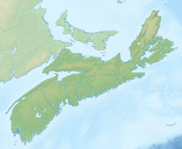
Barra Strait in Nova Scotia | |
| Location | Cape Breton Island, Nova Scotia |
| Coordinates | 45°57′09″N 60°48′15″W / 45.95250°N 60.80417°W |
| Type | Channel |
| Part of | Bras d'Or Lake |
| Ocean/sea sources | Gulf of Saint Lawrence, Atlantic Ocean |
| Basin countries | Canada |
| Max. length | 1.2 nautical miles (2.2 km; 1.4 mi) |
| Max. width | 0.66 nautical miles (1.22 km; 0.76 mi) |
| Max. depth | 50 metres (160 ft) |
| Settlements | Grand Narrows & Iona |
| References | Geographical Names of Canada - Barra Strait |
The Barra Strait[1] is a 1.22 km (0.76 mi) wide channel located in the Canadian province of Nova Scotia. It connects the northern and southern basins of Bras d'Or Lake, an inland saltwater body that dominates the centre of Cape Breton Island. The border between two of Cape Breton Island's counties runs through the strait; the community of Grand Narrows, in Cape Breton County, is situated on the eastern shore while the community of Iona, in Victoria County is situated on the western shore.[2]
- ^ "Geographical Names of Canada - Barra Strait". Government of Canada. Retrieved Oct 27, 2016.
- ^ "Nova Scotia Geographical Names Database entry for "Barra Strait" (includes map)". Government of Nova Scotia. Retrieved May 6, 2012.[permanent dead link]

