Bath County | |
|---|---|
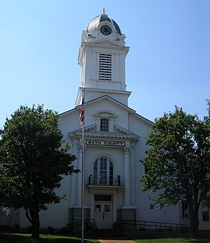
 Bath County Courthouse in Owingsville | |
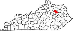
 Location within the U.S. state of Kentucky | |
 Kentucky's location within the U.S. | |
| Coordinates: 38°08′N 83°44′W / 38.14°N 83.74°W | |
| Country | |
| State | |
| Founded | 1811 |
| Named for | Medicinal springs located within the county |
| Seat | Owingsville |
| Largest city | Owingsville |
| Area | |
• Total | 284 sq mi (740 km2) |
| • Land | 279 sq mi (720 km2) |
| • Water | 5.2 sq mi (13 km2) 1.8% |
| Population (2020) | |
• Total | 12,750 |
• Estimate (2023) | 12,975 |
| • Density | 45/sq mi (17/km2) |
| Time zone | UTC−5 (Eastern) |
| • Summer (DST) | UTC−4 (EDT) |
| Congressional district | 6th |
| Website | bathcounty |
Bath County is a county located in the U.S. state of Kentucky. As of the 2020 census, the population was 12,750.[1] The county seat is Owingsville.[2] The county was formed in 1811.[3] Bath County is included in the Mount Sterling, KY Micropolitan Statistical Area, which is also included in the Lexington-Fayette–Richmond–Frankfort, KY combined statistical area.
- ^ "Census - Geography Profile: Bath County, Kentucky". United States Census Bureau. Retrieved December 30, 2022.
- ^ "Find a County". National Association of Counties. Archived from the original on July 12, 2012. Retrieved June 7, 2011.
- ^ "Bath County". Kyenc.org. Archived from the original on October 1, 2018. Retrieved June 3, 2013.