Bayt Jirja
بيت جرجه Beit Jerja | |
|---|---|
 Farmers near Bayt Jirja threshing wheat in 1940 | |
| Etymology: The house of the highway[1] | |
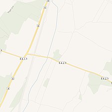
A series of historical maps of the area around Bayt Jirja (click the buttons) | |
Location within Mandatory Palestine | |
| Coordinates: 31°36′11″N 34°34′51″E / 31.60306°N 34.58083°E | |
| Palestine grid | 110/112 |
| Geopolitical entity | Mandatory Palestine |
| Subdistrict | Gaza |
| Date of depopulation | date unknown[4] |
| Area | |
• Total | 8,015 dunams (8.015 km2 or 3.095 sq mi) |
| Population (1945) | |
• Total | 940[2][3] |
| Current Localities | None |
Bayt Jirja or Beit Jerja (Arabic: بيت جرجه) was a Palestinian Arab village 15.5 km Northeast of Gaza. In 1931 the village consisted of 115 houses. It was overrun by Israeli forces during operation Yo'av in the 1948 Arab-Israeli war. Bayt Jirja was found depopulated in November 1948, during "clean up sweeps" to expel any partial inhabited villages and destroy village housing to prevent any possible re-occupation in the area.[5] The village was completely destroyed after the occupation and only one tomb remains.
- ^ Palmer, 1881, p. 365
- ^ Government of Palestine, Department of Statistics, 1945, p. 31 Archived 2020-04-14 at the Wayback Machine
- ^ a b Government of Palestine, Department of Statistics. Village Statistics, April, 1945. Quoted in Hadawi, 1970, p. 45
- ^ Morris, 2004, p. xix, village #312, gives both date and cause of depopulation as "Not known"
- ^ Morris, 2004, p. xix, village #312, pp. 517–518


