Native name: Березань | |
|---|---|
 Berezan Island as seen from a distance. | |
| Geography | |
| Location | Black Sea |
| Coordinates | 46°36′N 31°24.6′E / 46.600°N 31.4100°E |
| Total islands | 1 |
| Area | 0.24 km2 (0.093 sq mi) |
| Length | 0.9 km (0.56 mi) |
| Width | 0.4 km (0.25 mi) |
| Administration | |
| Region | Mykolaiv Oblast |
| District | Mykolaiv Raion |
| Administered by | Olbia Reserve |
| Demographics | |
| Population | uninhabited (2001) |
| Additional information | |
 | |
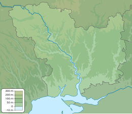
Berezan (Ukrainian: Березань; Ancient Greek: Borysthenes; former Turkish: Pirezin) is an island in the Black Sea at the entrance of the Dnieper-Bug Estuary, Mykolaiv Raion, Mykolaiv Oblast, Ukraine. Located 8 kilometers from the city of Ochakiv and 4 kilometers from the resort village of Rybakivka. It is often being confused with the artificial island of Pervomaisky that is located within Dnieper-Bug Estuary. The Berezan island measures approximately 900 metres in length by 320 metres in width, the height of the northern part is 3-6 metres, the southern part is 21 metres. It is separated from the mainland (to which it may have been connected long ago) by about a mile and a half of shallow water. Berezan is an integral part of the historical and archaeological reserve of the National Academy of Sciences of Ukraine "Olbia". The island is uninhabited. In the summer, archaeological expeditions of the IA NASU and the State Hermitage Museum work here. The archaeological site is regularly destroyed as a result of unauthorized excavations.[1]
- ^ "Berezan Island". ochakov.glo (in Russian). Archived from the original on 8 April 2022.
