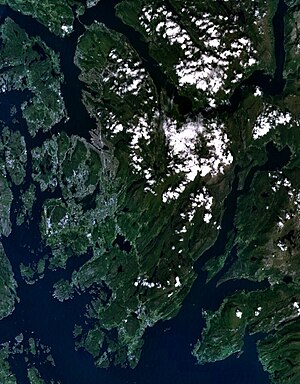
The Bergen Peninsula (Bokmål: Bergenshalvøya, Urban East Norwegian: [ˈbæ̀rɡn̩sˌhɑɫːœʏɑ]; Nynorsk: Bergenshalvøyen) is a peninsula in Vestland county, Norway. The city of Bergen, Norway's second largest city, is located on the peninsula. The peninsula extends out from the mainland and it is surrounded by the following fjords: Samnangerfjorden, Bjørnafjorden, Fusafjorden, Raunefjorden, Byfjorden, Salhusfjorden, Sørfjorden. The peninsula is connected to the rest of mainland Norway by a narrow, 6.5-kilometre (4.0 mi) wide strip of land between the villages of Trengereid and Årland. The 465-square-kilometre (180 sq mi) municipality of Bergen, about 140-square-kilometre (54 sq mi) of the municipality of Bjørnafjorden, and about 50 square kilometres (19 sq mi) of the municipality of Samnanger are all located on the peninsula. The highest point is the 987-metre (3,238 ft) tall mountain Gullfjellet.[1][2]
- ^ Jansen, Kristin (19 March 2008). "Sjekk påskens turperler". Bergens Tidende (in Norwegian). Archived from the original on 20 March 2008. Retrieved 4 December 2008.
- ^ Store norske leksikon. "Bergenshalvøya" (in Norwegian). Retrieved 12 July 2014.