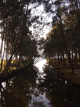
| Berkeley Vale Central Coast, New South Wales | |||||||||||||||
|---|---|---|---|---|---|---|---|---|---|---|---|---|---|---|---|
 | |||||||||||||||
 | |||||||||||||||
| Coordinates | 33°20′24″S 151°26′6″E / 33.34000°S 151.43500°E | ||||||||||||||
| Population | 8,355 (2016 census)[1] | ||||||||||||||
| • Density | 2,090/km2 (5,400/sq mi) | ||||||||||||||
| Postcode(s) | 2261 | ||||||||||||||
| Elevation | 8 m (26 ft) | ||||||||||||||
| Area | 4 km2 (1.5 sq mi) | ||||||||||||||
| Location |
| ||||||||||||||
| LGA(s) | Central Coast Council | ||||||||||||||
| Parish | Tuggerah | ||||||||||||||
| State electorate(s) | |||||||||||||||
| Federal division(s) | Dobell | ||||||||||||||
| |||||||||||||||
Berkeley Vale is a suburb of the Central Coast region of New South Wales, Australia. Berkeley Vale is commuting distance from Sydney. It is part of the Central Coast Council local government area and part of the federal division of Dobell.
Wyong Road is the main road that runs through Berkeley Vale. Berkeley Vale contains two public schools – Berkeley Vale Campus, which is a part of Tuggerah Lakes Secondary College, and Berkeley Vale Public School.
There is a private hospital and a retirement village on the lake side of Wyong Road. Youth activities available include 1st Berkeley Vale Scout Group.
Berkeley Vale is home to the Berkeley Vale "Panthers" Rugby League Football Club and the Berkeley Vale "Wombats" Soccer Club.
- ^ Australian Bureau of Statistics (27 June 2017). "Berkeley Vale (State Suburb)". 2016 Census QuickStats. Retrieved 25 April 2018.
