| Big Burro Mountains | |
|---|---|
 Foothills at northeast Big Burro Mtns (north Little Burro Mountains, US Route 180 in New Mexico) | |
| Highest point | |
| Peak | Burro Peak |
| Elevation | 8,035 ft (2,449 m) |
| Coordinates | 32°35′26″N 108°25′58″W / 32.590635°N 108.432827°W |
| Dimensions | |
| Length | 35 mi (56 km) NW-SE |
| Width | 15 mi (24 km) |
| Geography | |
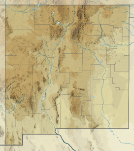
Big Burro Mountains in New Mexico | |
| Country | United States |
| State | New Mexico |
| Regions | Chihuahuan Desert and Continental Divide of the Americas |
| County | Grant |
| River | Gila River |
| Communities | Cliff, Gila, Silver City, White Signal and Red Rock |
| Range coordinates | 32°42′32″N 108°32′17″W / 32.708965°N 108.538107°W |
| Borders on | Lordsburg Mesa, Animas Valley, Silver City, Silver City Range and Little Burro Mountains |
The Big Burro Mountains are a moderate length 35-mile (56 km) long, mountain range located in central Grant County, New Mexico. The range's northwest-southeast 'ridgeline' is located 15 mi southwest of Silver City.
The southeast end of the range has the Continental Divide of the Americas crossing the range over Burro Peak and traversing from Silver City, the Pinos Altos Range, and then the adjacent Little Burro Mountains attached to the Big Burro's on the southeast.
The northwest region of the range has the Gila River traversing on a course from the Gila Wilderness, north of Silver City, and the Gila on its excursion towards Arizona, being one of the major regional river basins of the arid Sonoran Desert of central and southern Arizona. On the other hand, the Big Burro Mountains are on the northwest perimeter of the Chihuahuan Desert as it extends into southern New Mexico through the Playas and Animas Valleys.
