| Bill Williams River National Wildlife Refuge | |
|---|---|
IUCN category IV (habitat/species management area) | |
 | |
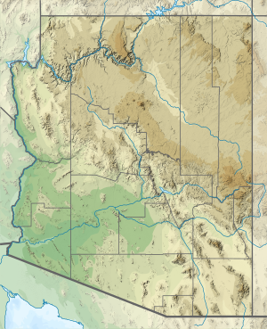
Map of the United States | |
| Location | La Paz / Mohave counties, Arizona, United States |
| Nearest city | Parker, AZ / Lake Havasu City, AZ |
| Coordinates | 34°16′09″N 114°02′44″W / 34.269201°N 114.045492°W |
| Area | 6,105 acres (24.71 km2) |
| Established | 1941, 1993 (as Bill Williams)[1] |
| Governing body | U.S. Fish and Wildlife Service |
| Website | Bill Williams River National Wildlife Refuge |
The Bill Williams River National Wildlife Refuge protects the lower course of the Bill Williams River, to its mouth at Lake Havasu reservoir, in western Arizona.[2] It is located within eastern La Paz and Mohave Counties, in the Lower Colorado River Valley region.
The federal wildlife refuge is managed by the United States Fish and Wildlife Service. Recreation activities include nature walks, bird watching, hiking, and kayaking on the Bill Williams River.[3]
The Nature Conservancy acquired the land from the Arizona Ranch and Metals Company in 1977 and donated it to the Fish and Wildlife Service.[4]
- ^ "About the Refuge – Bill Williams River National Wildlife Refuge". U.S. Fish and Wildlife Service. Retrieved 4 September 2016.
- ^ US-FWS: Bill Williams River National Wildlife Refuge . accessed 6.4.2014
- ^ Recreation.gov: Bill Williams River Wildlife Refuge info
- ^ "LAND IN ARIZONA BOUGHT BY NATURE CONSERVANCY". The New York Times. 1977-01-30. ISSN 0362-4331. Retrieved 2024-07-05.

