| Black Buttes | |
|---|---|
 The rocky peaks of the eroded Black Buttes | |
| Highest point | |
| Peak | Colfax Peak |
| Elevation | 9,445–9,485 feet (2,879–2,891 m) NAVD 88[1] |
| Coordinates | 48°46′17″N 121°50′38″W / 48.7714796°N 121.8439558°W[2] |
| Geography | |
| Location | Whatcom County, Washington, U.S. |
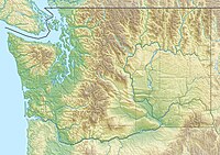
The Black Buttes, also known historically as the Sawtooth Rocks, make up an extinct stratovolcano in the Cascade Volcanic Arc in Whatcom County, Washington, United States. Glacially eroded remnants of this volcano rise above the Deming Glacier, part of the glacier system of the nearby volcano, Mount Baker. There are three major peaks — Colfax, Lincoln, and Seward — all of which can be climbed.
The volcano was last active during the Middle Pleistocene from 495,000 to 288,000 years ago. Mount Baker, a much younger volcano, sits on top of lava erupted from Black Buttes Volcano.
