| Blouberg | |
|---|---|
 | |
| Highest point | |
| Elevation | 2,040 m (6,690 ft) |
| Listing | List of mountain ranges of South Africa |
| Coordinates | 23°05′0″S 28°51′0″E / 23.08333°S 28.85000°E |
| Dimensions | |
| Length | 36 km (22 mi) E/W |
| Width | 10 km (6.2 mi) N/S |
| Geography | |
| Country | South Africa |
| Province | Limpopo |
| Parent range | Soutpansberg |
| Geology | |
| Orogeny | Kaapvaal craton |
| Rock age | Neoarchean to early Paleoproterozoic |
| Rock type(s) | Bushveld igneous complex, sandstone |


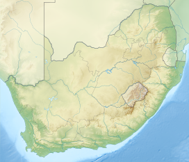
The Blouberg (formerly "Blaauwberg"), meaning "Blue Mountain" in Dutch, is a range of mountains in the Limpopo Province, at the far north of South Africa. It is located in Blouberg Local Municipality, Capricorn District.[1] The mountain is entrenched in the history of the local Northern Sotho people, and they have different names for its various parts.[2]
The Blouberg forms part of the 'Vhembe Biosphere Reserve', named a biosphere reserve by UNESCO since 2009.[3] This reserve also includes the neighboring Makgabeng Plateau, the Soutpansberg, the northern part of the Kruger National Park, the Makuleke Wetlands and the Mapungubwe Cultural Landscape.[4] The eastern and part of the central Blouberg prominences are enclosed and protected as part of the Blouberg Nature Reserve. A 4x4 track traverses Rapanyan's Neck, the defile that separates these easterly subranges.
- ^ "Seraki Blouberg Route - South Africa - Open Africa". Archived from the original on 2012-01-05. Retrieved 2012-03-23.
- ^ "Seraki Blouberg Route". openafrica.org. Open Africa. Archived from the original on 12 February 2019. Retrieved 7 December 2015.
- ^ "Vhembe Region named UNESCO's Biosphere Reserve". Archived from the original on 2017-06-20. Retrieved 2012-04-05.
- ^ UNESCO - Biosphere Reserve Information
