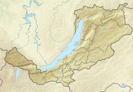
| Bolshoy Khapton | |
|---|---|
 View of the Bolshoy Khapton. | |
| Highest point | |
| Peak | Mt Bolshoy Khapton |
| Elevation | 2,284 m (7,493 ft) |
| Coordinates | 55°05′25″N 112°52′25″E / 55.09028°N 112.87361°E |
| Dimensions | |
| Length | 50 km (31 mi) NE-SW |
| Width | 10 km (6.2 mi) |
| Geography | |
| Country | Russia |
| Federal subject | Buryatia |
| Range coordinates | 55°0′N 112°43′E / 55.000°N 112.717°E |
| Parent range | Vitim Plateau South Siberian System |
| Climbing | |
| Easiest route | From Bagdarin |
The Bolshoy Khapton (Russian: Большой Хаптон) is a mountain range in Bauntovsky District, Buryatia, Russia.
The nearest airport is Bagdarin Airport.[1]
