Borough of Chesterfield | |
|---|---|
 Chesterfield skyline and the Crooked Spire of Chesterfield Parish Church. | |
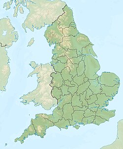
 Shown within Derbyshire | |
| Coordinates: 53°14′N 1°25′W / 53.233°N 1.417°W | |
| Sovereign state | United Kingdom |
| Country | England |
| Region | East Midlands |
| County | Derbyshire |
| Government | |
| • Type | Non-metropolitan district |
| • Local Authority | Chesterfield Borough Council |
| • MPs | Toby Perkins (L) Louise Jones (L) |
| Population (2022) | |
| • Total | 104,110 (Ranked 230th) |
| Ethnicity (2021) | |
| • Ethnic groups | |
| Religion (2021) | |
| • Religion | List
|
| Time zone | UTC+0 (Greenwich Mean Time) |
| Postcode | |
| Post town | chesterfield |
| Dialling code | 01246 |
| ISO 3166-2 | GB-DBY |
| ONS code | 17UD (ONS) E07000034 (GSS) |
| OS grid reference | SK382711 |
| Demonym | Cestrefeldian |
The Borough of Chesterfield is a non-metropolitan district with borough status in Derbyshire, England. It is named after the town of Chesterfield, its largest settlement, and also contains the town of Staveley and the large village of Brimington. In 2022 it had a population of 104,110.
The borough borders the North East Derbyshire district to the north, west and south, and the Bolsover district to the east.
- ^ a b UK Census (2021). "2021 Census Area Profile – Chesterfield Local Authority (E07000034)". Nomis. Office for National Statistics. Retrieved 5 January 2024.


