| Bow Creek | |
|---|---|
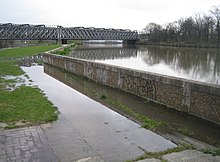
 Bow Creek (tidal) (far left) meets the Limehouse Cut (canal, right), at Bow Locks on the Lee Navigation (centre); with a view of London's Docklands | |
 | |
| Location | |
| Country | England |
| Physical characteristics | |
| Source | |
| • location | Confluence of Prescott Channel and Channelsea River at Bow Locks |
| Mouth | |
• location | River Thames, Leamouth |
| Length | 2.25 mi (3.62 km) |


Bow Creek is a 2.25-mile (3.6 km) long tidal estuary of the English River Lea and is part of the Bow Back Rivers. Below Bow Locks the creek forms the boundary between the London Boroughs of Newham and Tower Hamlets, in East London.
