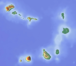
 | |
 | |
| Geography | |
|---|---|
| Location | Atlantic Ocean |
| Coordinates | 14°52′N 24°42′W / 14.867°N 24.700°W |
| Area | 62.51 km2 (24.14 sq mi) |
| Length | 10.5 km (6.52 mi) |
| Width | 9.3 km (5.78 mi) |
| Highest elevation | 976 m (3202 ft) |
| Highest point | Monte Fontainhas |
| Administration | |
| Municipality | Brava |
| Largest settlement | Nova Sintra |
| Demographics | |
| Population | 5,698 (2015) |
| Pop. density | 91.2/km2 (236.2/sq mi) |
Brava (Portuguese for "wild" or "brave") is an island in Cape Verde, and is part of the Sotavento group, in the central Atlantic Ocean. At 62.5 km2 (24.1 sq mi),[1] it is the smallest inhabited island of the Cape Verde archipelago, but at the same time the greenest. First settled in the early 16th century, its population grew after Mount Fogo on neighbouring Fogo erupted in 1680. For more than a century, its main industry was whaling, but the island economy is now primarily agricultural.

