Bronte | |
|---|---|
Unincorporated community | |
| Coordinates: 43°23′22″N 79°43′4″W / 43.38944°N 79.71778°W | |
| Country | Canada |
| Province | Ontario |
| Regional municipality | Halton |
| Town | Oakville |
| Founded | 1834 |
| Time zone | UTC-5 (EST) |
| • Summer (DST) | UTC-4 (EDT) |
| Forward sortation area | |
| Area code(s) | 905 and 289 |
| NTS Map | 030M05 |
| GNBC Code | FALWE |
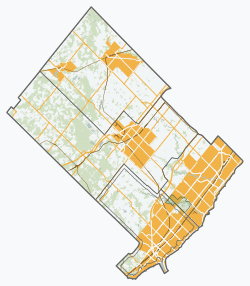
Bronte is the community that makes up much of the west end of Oakville, in Ontario, Canada. Twelve Mile Creek (known informally as Bronte Creek) flows through the middle of town and empties into Lake Ontario. Main roads include Bronte Road (north-south), Lakeshore Road West (east-west, parallel to Lake Ontario) and Rebecca Street (east-west). Streets in the business section include Lakeshore, Jones, Marine, and Ontario Street. Bronte is also accessed via a superhighway (the Queen Elizabeth Way) located to the north of the former village. Other main roads include Third Line, Speers Road and Burloak Drive to the west (the latter was named after the boundary of Burlington and Oakville.)
Bronte is a former fishing village which became annexed in 1962 with the former Township of Trafalgar, forming the Town of Oakville, along with the other formerly autonomous communities, including Sheridan.


