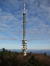
| Brotjacklriegel | |
|---|---|
 The mountain seen from the Rohrbach Reservoir | |
| Highest point | |
| Elevation | 1,011 m above sea level (NHN) (3,317 ft) |
| Prominence | 216 m ↓ [1] |
| Isolation | 17 km |
| Listing | Brotjacklriegel Transmitter, viewing tower |
| Coordinates | 48°49′1.23″N 13°13′3.12″E / 48.8170083°N 13.2175333°E |
| Geography | |
| Parent range | Bavarian Forest |
| Geology | |
| Type of rock | Gneiss |
Seen from the River Danube, the Brotjacklriegel is the first high mountain in the Bavarian Forest. It is 1,011 m above NHN[2] and lies in the county of Freyung-Grafenau in the German federal state of Bavaria. It is a symbol of the Sonnenwald region which comprises the municipalities of Schöfweg, Zenting, Innernzell, Grattersdorf and Market Schöllnach.

- ^ "Bergtouren - Zahlen und Fakten". Archived from the original on 2014-10-19. Retrieved 2018-04-07. (estimated value)
- ^ Federal Office of Cartography and Geodesy, Landesamt für Vermessung und Geoinformation Bayern: digital topographical map 1:10,000 scale, BayernAtlas, retrieved 23 March 2014
