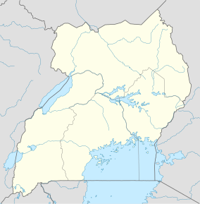
| Bugoma Forest | |
|---|---|
| Bugoma Central Forest Reserve | |
| Location | Hoima, Western Region, Uganda |
| Coordinates | 01°15′20″N 30°58′00″E / 1.25556°N 30.96667°E |
| Area | 400 km2 (150 sq mi) |
The Bugoma Forest is a protected tropical forest that is situated southwest of Hoima and northeast of Kyenjojo towns, and east of Lake Albert, in the Hoima district of western Uganda.[1][2] It was gazetted in the 1932 and came under the mandate of the National Forestry Authority in 2003.[3] But it was expanded in 1965, 1968 and 1998.[1][2][4] Its surface area is given as between 41,144 hectares (411.44 km2)[1][2][5][6][7] and 65,000 hectares (650 km2).[8][9]
- ^ a b c Musisi, Frederic (September 19, 2013). "Bugoma forest where illicit logging thrives". Daily Monitor. Retrieved 29 January 2014.
- ^ a b c Tilenga Project Environmental and Social Impact Assessment (PDF). Vol. III. Uganda: Total energies. 2018. pp. 13–55, 13–56.
- ^ "Natural resources and shared environment". UNCHR. 2021. Retrieved 2023-05-17.
- ^ Securing Uganda's Natural Resource Base in Protected Areas Project (PDF). Environmental and Social Management Framework (ESMF). 2021. p. 28.
- ^ "Bitter-sweet exchange: forest cleared for sugarcane - Part 2". New Vision. Retrieved 2023-05-15.
- ^ "Women stage protest over Bugoma forest". New Vision. Retrieved 2023-05-15.
- ^ Draft Environmental and Social Management Framework (PDF). Uganda: Ministry of Water & Environment - Uganda. 2020-01-13. p. 17.
- ^ "Bugoma Central Forest Reserve". Birdlife Data Zone. Birdlife International. Retrieved 6 December 2013.
- ^ "Bugoma Ecotourism Site". www.nfa.go.ug. Retrieved 2024-07-12.
