| Buildwas Formation formerly Wenlock Shale | |
|---|---|
| Stratigraphic range: Sheinwoodian | |
| Type | Formation |
| Underlies | Barr Limestone Formation |
| Overlies | Rubery Formation |
| Thickness | 22 to 40 m (72 to 131 ft) |
| Lithology | |
| Primary | Mudstone |
| Other | Limestone |
| Location | |
| Coordinates | 52°36′N 2°30′W / 52.6°N 2.5°W |
| Approximate paleocoordinates | 27°48′S 13°00′W / 27.8°S 13.0°W |
| Region | Shropshire |
| Country | |
| Extent | Walsall to Wenlock Edge |
| Type section | |
| Named for | Buildwas |
| Named by | Butler |
| Location | Left bank of Hughley Brook |
| Year defined | 1937 |
| Coordinates | 52°38′32″N 002°32′05″W / 52.64222°N 2.53472°W |

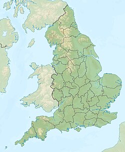
The Buildwas Formation (Bw, BUI), formerly called Wenlock Shale and Buildwas Beds,[1] is a geologic formation in Shropshire, England. It preserves fossils dating back to the Silurian period. The formation is the defining formation of the Sheinwoodian age of the Wenlock epoch, the Middle Silurian.

