It has been suggested that Bonzwah Valley be merged into this article. (Discuss) Proposed since November 2024. |
Bunjwah
Bonzwah | |
|---|---|
Devigol, Kalnai River Kalnai Lake | |
 | |
| Coordinates: 33°08′25″N 75°56′10″E / 33.1402258°N 75.9360972°E | |
| Country | |
| Union Territory | Jammu and Kashmir |
| District | Kishtwar |
| Population | 15,899 |
| Languages | |
| • Official | Urdu, English |
| • Spoken | Kashmiri, Bunjwahi, Bhalessi, Gojri, Kishtwari |
| Time zone | UTC+5:30 (IST) |
| PIN | 182204 |
| Distance from Kishtwar town | 60 kilometres (37 mi) |
| Distance from Jammu | 220 kilometres (140 mi) |
| Website | kishtwar |
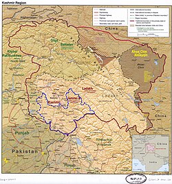
Bunjwah (also known as Bonjwah) is a region and tehsil located in the Kishtwar district of Jammu and Kashmir, India.[3] It comprises nine panchayat and two nayabats; it became a tehsil in 2014.[4]
- ^ "Tehsil Bunjwah". www.mykishtwar.com. Retrieved 7 August 2020.
- ^ "Tehsils in Kishtwar". Government of Jammu & Kashmir. Retrieved 7 August 2020.
- ^ Sheikh, Shafqat Shaheen (2 April 2017). "Bunjwah: A Forgotten Village In Kishtwar". Kashmir Age. Retrieved 7 August 2020.
- ^ Sheikh, Shafqat Shaheen (24 July 2019). "Unexplored Tourist Destinations Of Neglected Bunjwah". Legitimate News. Retrieved 7 August 2020.


