| Camarillas Formation | |
|---|---|
| Stratigraphic range: Barremian ~ | |
 The Camarillas Formation crops out in the geological park of Aliaga | |
| Type | Geological formation |
| Underlies | Artoles Formation |
| Overlies | El Castellar Formation |
| Thickness | 300–800 m (980–2,620 ft) |
| Lithology | |
| Primary | Sandstone, mudstone |
| Other | Conglomerate |
| Location | |
| Coordinates | 40°42′N 0°54′W / 40.7°N 0.9°W |
| Approximate paleocoordinates | 30°42′N 9°12′E / 30.7°N 9.2°E |
| Region | Teruel, Aragón |
| Country | |
| Extent | Galve Basin |
| Type section | |
| Named for | Camarillas |
| Named by | Canérot et al. |
| Year defined | 1982 |
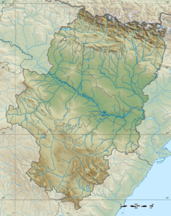
The Camarillas Formation is a geological formation in the Teruel Province of Aragón, Spain whose strata date back to the Early Cretaceous (Barremian stage). The sandstones, mudstones and conglomerates of the formation, that due to syn-sedimentary faulting varies greatly in thickness from 300 to 800 metres (980 to 2,620 ft), were deposited in fluvial, deltaic and lacustrine environments.
The formation was deposited in the Galve Sub-basin of the Maestrazgo Basin in central-eastern Spain. During deposition, Iberia was an island, separated by seas from North Africa and France. Underlying the Camarillas Formation is the also highly fossiliferous El Castellar Formation and the Artoles Formation rests on top of the formation.[1]
The Camarillas Formation has provided a rich fossil assemblage of fossils of mammals, snakes, turtles, crocodylians, fish, dinosaurs and their eggs. Various tracksites of families of dinosaurs exist in the formation.
Dinosaur remains have been recovered from the formation.[2]

