| Canyon Creek Mountains | |
|---|---|
| Highest point | |
| Peak | East Elk Mountain |
| Elevation | 9,058 ft (2,761 m) |
| Coordinates | 33°29′49″N 108°15′53″W / 33.497008°N 108.264776°W |
| Dimensions | |
| Length | 10 mi (16 km) SW-NE |
| Width | 7 mi (11 km) |
| Geography | |
| Country | United States |
| State | New Mexico |
| Region(s) | Gila National Forest Continental Divide of the Americas |
| County | Catron County, New Mexico |
| Settlement | Collins Park, NM (Aragon, NM–Apache Creek, NM) |
| Range coordinates | 33°29′49″N 108°15′53″W / 33.497008°N 108.264776°W |
| Borders on | Elk Mountains-NW FR 30-(O Bar O Road)-N Gila Wilderness-S |
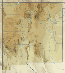
The Canyon Creek Mountains are a short 10 miles (16 km) long, mountain range located in southeast Catron County, New Mexico, near the source of the Gila River and north of the Gila Wilderness. The Elk Mountains are adjacent northwest, where the continental divide passes from north to east on the south of the Plains of San Agustin.
