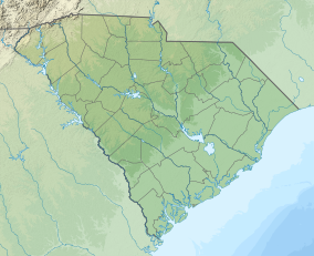
| Cape Romain National Wildlife Refuge | |
|---|---|
IUCN category IV (habitat/species management area) | |
 | |
| Location | Charleston County, South Carolina, United States |
| Nearest city | Awendaw |
| Coordinates | 32°59′33″N 79°33′50″W / 32.99250°N 79.56389°W |
| Area | 66,287 acres (26,825 ha) |
| Established | 1932 |
| Visitors | 154,000 (in 2010) |
| Governing body | U.S. Fish and Wildlife Service |
| Website | Cape Romain National Wildlife Refuge |

The Cape Romain National Wildlife Refuge is a 66,287 acre (267 km²) National Wildlife Refuge in southeastern South Carolina near Awendaw, South Carolina. The refuge lands and waters encompass water impoundments, creeks and bays, emergent salt marsh and barrier islands. 29,000 acres (120 km2) are designated as a wilderness area. Most of the refuge is only accessible by boat. The Intracoastal Waterway passes the Refuge. Mainland facilities include the refuge's headquarters and visitor center which are located on U.S. Highway 17 about 30 minutes by car from Charleston, South Carolina.

