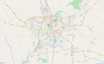
Carlow
Ceatharlach | |
|---|---|
Town | |
Tullow Street | |
| Coordinates: 52°49′50″N 6°55′54″W / 52.8306°N 6.9317°W | |
| Country | Ireland |
| Province | Leinster |
| County | County Carlow |
| Government | |
| • Type | Carlow Municipal District |
| • Mayor | Fintan Phelan |
| • Dáil constituency | Carlow–Kilkenny |
| Area | |
• Total | 11.8 km2 (4.6 sq mi) |
| Elevation | 57 m (187 ft) |
| Population | |
• Total | 27,351 |
| • Rank | 12th |
| • Density | 2,300/km2 (6,000/sq mi) |
| Time zone | UTC±0 (WET) |
| • Summer (DST) | UTC+1 (IST) |
| Eircode routing key | R93 |
| Telephone area code | +353(0)59 |
| Irish Grid Reference | S724771 |
| Website | www |
Carlow (/ˈkɑːrloʊ/ KAR-loh; Irish: Ceatharlach [ˈcahəɾˠl̪ˠəx]) is the county town of County Carlow, in the south-east of Ireland, 84 km (52 mi) from Dublin. At the 2022 census, it had a population of 27,351, the twelfth-largest urban center in Ireland.[3]

The River Barrow flows through the town and forms the historic boundary between counties Laois and Carlow. However, the Local Government (Ireland) Act 1898 included the town entirely in County Carlow. The settlement of Carlow is thousands of years old and pre-dates written Irish history. The town has played a major role in Irish history, serving as the capital of the country in the 14th century.
- ^ "Carlow Municipal District". 11 October 2016. Archived from the original on 19 February 2019. Retrieved 18 February 2019.
- ^ "Population Density and Area Size 2016". CSO. Archived from the original on 24 March 2019. Retrieved 10 July 2019.
- ^ a b "Census 2022 | Profile 1 - Population Distribution and Movement | F1015 - Population". data.cso.ie. Retrieved 29 July 2023.


