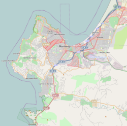
Carmel Point
Point Loeb Charles King Van Riper Reamer's Point | |
|---|---|
From top, left to right: Scenic Road, Edward G. Kuster's House; Tor House; Butterfly House; Rock formation; Carmel River Beach | |
 | |
| Coordinates: 36°32′37″N 121°55′59″W / 36.54361°N 121.93306°W | |
| Country | United States |
| State | California |
| County | Monterey County |
| Elevation | 489 ft (149 m) ft (11 m) |
| Time zone | UTC-8 (PST) |
| • Summer (DST) | UTC-7 (PDT) |
| GNIS feature ID | 254713 |
Carmel Point also known as the Point and formerly called Point Loeb and Reamer's Point, is an unincorporated community in Monterey County, California, United States. It is a cape located at the southern city limits of Carmel-by-the-Sea and offers views of Carmel Bay, the mouth of Carmel River, and Point Lobos.[1] Carmel Point was one of three major land developments adjacent to the Carmel city limits between 1922 and 1925. The other two were Hatton Fields, 233 acres (94 ha) between the eastern town limit and Highway 1, and Carmel Woods, 125 acres (51 ha) tract on the north side.[2]
- ^ Geonameslink 254713 Carmel Point at Geonames.org (cc-by);post updated 2022-07-17
- ^ "Outlands In The Eighty Acres". United States Department of Interior National Park Service. February 21, 1989. Retrieved October 18, 2022.


