Carroll County | |
|---|---|
 | |
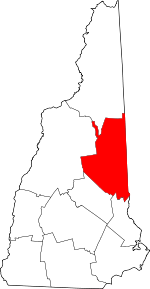
 Location within the U.S. state of New Hampshire | |
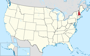
 New Hampshire's location within the U.S. | |
| Coordinates: 43°49′21″N 71°10′54″W / 43.822605°N 71.181587°W | |
| Country | |
| State | |
| Founded | 1840 |
| Named for | Charles Carroll of Carrollton |
| Seat | Ossipee |
| Largest town | Conway |
| Area | |
• Total | 993.5 sq mi (2,573 km2) |
| • Land | 931.9 sq mi (2,414 km2) |
| • Water | 61.6 sq mi (160 km2) 6.2% |
| Population (2020) | |
• Total | 50,107 |
| • Density | 53.8/sq mi (20.8/km2) |
| Time zone | UTC−5 (Eastern) |
| • Summer (DST) | UTC−4 (EDT) |
| Congressional district | 1st |
| Website | carrollcountynh |
Carroll County is a county in the U.S. state of New Hampshire. As of the 2020 census, the population was 50,107,[1] making it the third-least populous county in New Hampshire. Its county seat is Ossipee.[2] The county was created in 1840 and organized at Ossipee from towns removed from Strafford County. It was named in honor of Charles Carroll of Carrollton,[3] who had died in 1832, the last surviving signer of the United States Declaration of Independence.
- ^ "Census - Geograpahy Profile: Carroll County, New Hampshire". United States Census Bureau. Retrieved November 21, 2021.
- ^ "Find a County". National Association of Counties. Archived from the original on May 31, 2011. Retrieved June 7, 2011.
- ^ Gannett, Henry (1905). The Origin of Certain Place Names in the United States. Govt. Print. Off. pp. 70.