Carter County | |
|---|---|
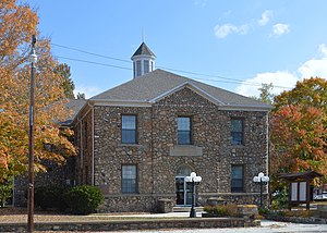
 Carter County Courthouse in Van Buren | |
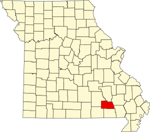
 Location within the U.S. state of Missouri | |
 Missouri's location within the U.S. | |
| Coordinates: 36°56′N 90°58′W / 36.94°N 90.97°W | |
| Country | |
| State | |
| Founded | March 10, 1859 |
| Named for | Zimri A. Carter, a pioneer settler who came to Missouri from South Carolina in 1812 |
| Seat | Van Buren |
| Largest city | Van Buren |
| Area | |
• Total | 509 sq mi (1,320 km2) |
| • Land | 507 sq mi (1,310 km2) |
| • Water | 1.7 sq mi (4 km2) |
| Population (2020) | |
• Total | 5,202 |
| • Density | 10/sq mi (4/km2) |
| Time zone | UTC−6 (Central) |
| • Summer (DST) | UTC−5 (CDT) |
| Congressional district | 8th |
Carter County is a county in the Ozarks of Missouri. At the 2020 census, it had a population of 5,202.[1] The largest city and county seat is Van Buren.[2] The county was officially organized on March 10, 1859, and is named after Zimri A. Carter, a pioneer settler who came to Missouri from South Carolina in 1812.
- ^ "2020 Population and Housing State Data". United States Census Bureau. Retrieved September 8, 2021.
- ^ "Find a County". National Association of Counties. Archived from the original on May 31, 2011. Retrieved June 7, 2011.