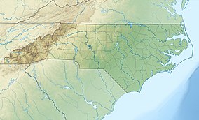
| Carvers Creek State Park | |
|---|---|
 Swamp at Long Valley Farm | |
| Location | Spring Lake, Cumberland, North Carolina, United States |
| Coordinates | 35°11′8.8″N 78°52′41″W / 35.185778°N 78.87806°W |
| Area | 4,530 acres (18.3 km2)[1] |
| Established | May 4, 2005 |
| Named for | Carvers Creek |
| Governing body | North Carolina Division of Parks and Recreation |
| Website | Carvers Creek State Park |
Carvers Creek State Park is a North Carolina state park in Cumberland County, North Carolina in the United States. Located north of Fayetteville, it covers 4,530 acres (18.3 km2)[1] in the Sandhills region of the state. The park covers lands around Carvers Creek, a tributary of the Cape Fear River, and it borders Fort Bragg. The park is currently divided into two areas, Long Valley Farm and the Sandhills Property. The park is still being planned, and the state is planning to acquire more land for the park.
On September 9, 2013, interim park facilities were opened to the public at the Long Valley Farm Access.[2] The initial park facilities include a ranger contact station, a picnic area, lake fishing access, and two hiking trails.

