| Cedar Mountain Range | |
|---|---|
Cedar Mountain Range in New Mexico | |
| Highest point | |
| Peak | Flying W Mountain, Cedar Mountain Range |
| Elevation | 6,217 ft (1,895 m) |
| Coordinates | 31°55′19″N 108°05′41″W / 31.922041°N 108.094759°W |
| Dimensions | |
| Length | 20 mi (32 km) NW-SE |
| Width | 6 mi (9.7 km) |
| Geography | |
| Country | United States |
| State | New Mexico |
| Regions | Chihuahuan Desert and Continental Divide |
| Counties | Luna and Grant |
| Settlements | Hachita and Hermanas |
| Range coordinates | 31°57′25″N 108°08′25″W / 31.95694°N 108.14028°W |
| Borders on | Continental Divide, State Road 9 and Mexico–United States border |
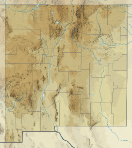
The Cedar Mountain Range is a short 20 mi (32 km) long, mountain range in southwest Luna County, New Mexico, USA, just north of the Mexico–United States border with Chihuahua.
The range lies in the northwest Chihuahuan Desert and the extreme northwest end of the range lies in southeast Grant County. It is here that the Continental Divide of the Americas crosses the range, turns northwest, then west, and south at the north perimeter of the north–south Playas Valley. The continental divide continues south into Mexico on the western perimeter of the Playas Valley, through three mountain ranges, the Pyramid, Animas, and San Luis Mountains (New Mexico).
