| Chaba Icefield | |
|---|---|
| Type | Icefield |
| Location | Alberta / British Columbia, Canada |
| Coordinates | 52°13′N 117°45′W / 52.217°N 117.750°W[1] |
| Area | 366 km2 (141 sq mi)[2] |
| Terminus | outflow glaciers |
| Status | receding[3] |
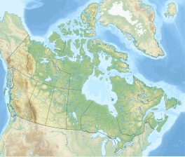
The Chaba Icefield is an ice field located at the southern end of Hamber Provincial Park, extending into Jasper National Park and straddles the Continental Divide marking the Alberta-British Columbia border.[4]
- ^ "Chaba Icefield (British Columbia)". Geographical Names Data Base. Natural Resources Canada. Retrieved 2023-10-17.
- ^ "Chaba Icefield". bivouac.com. Retrieved 2023-10-17.
- ^ Cite error: The named reference
AG2009was invoked but never defined (see the help page). - ^ "Chaba Icefield". BC Geographical Names. Retrieved 2023-10-17.


