Challis | |
|---|---|
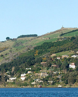
 Challis sits at the harbour's edge below the Otago Peninsula Fallen Soldiers' Memorial, a major local landmark. | |
 | |
| Coordinates: 45°52′47″S 170°33′40″E / 45.87972°S 170.56111°E | |
| Country | New Zealand |
| City | Dunedin |
| Local authority | Dunedin City Council |
| Community board | Otago Peninsula Community Board |
| Area | |
| • Land | 72 ha (178 acres) |
| Population (2018 Census)[2] | |
| • Total | 177 |
| (Otago Harbour) | Macandrew Bay | |
| The Cove |
|
|
| Ocean Grove | Highcliff |
Challis is a settlement on the Otago Harbour coast of Otago Peninsula, within the city limits of the New Zealand city of Dunedin. Though officially regarded as a suburb, the isolated nature of Challis means that most locals regard it as a separate settlement within the city limits (as is also the case with many similar settlements on the Otago Peninsula).
Challis is located close to the shore at the foot of steeply sloping hills and cliffsides 4 kilometres (2.5 mi) to the east of Dunedin city centre on the winding Portobello Road, which runs along the northern shore of the peninsula. Challis is connected by this road to the suburb of Vauxhall 1.8 kilometres (1.1 mi) to the west, and with Macandrew Bay, 2.6 kilometres (1.6 mi) to the northeast.
The larger settlement of The Cove lies immediately to the west, between Challis and Vauxhall.