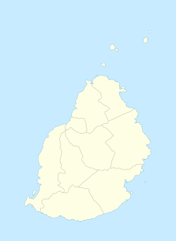
Chamarel | |
|---|---|
Village | |
 Chamarel Waterfalls | |
| Coordinates: 20°25′30″S 57°23′28″E / 20.42500°S 57.39111°E | |
| Country | |
| Districts | Rivière Noire District |
| Government | |
| Population (2011)[1] | |
• Total | 783 |
| • Density | 26.5/km2 (69/sq mi) |
| Time zone | UTC+4 (MUT) |
| Area code | 230 |
| ISO 3166 code | MU |
| Climate | Am |
Chamarel is a village in Mauritius mainly located in Rivière Noire District. The eastern part of the village lies in the Savanne District. The village is administered by the Chamarel Village Council under the aegis of the Rivière Noire District Council.[2]
Today it is primarily known for its scenic locations and nature attractions in its neighbourhood, among them are the Seven Coloured Earths, the Chamarel Falls, Ebony Forest Chamarel and the Black River Gorges National Park. The surrounding area is also known for its locally grown coffee. Chamerel's church Saint Anna was built is 1876 and is subject to a pilgrimage on the Assumption of Mary (15 August), during which the village hosts a fair associated with the pilgrimage as well.[3][4][5]
- ^ "Republic of Mauritius - 2011 HOUSING AND POPULATION CENSUS" (PDF). Statistics Mauritius. 2011. Archived (PDF) from the original on 15 June 2016. Retrieved 22 September 2016.
{{cite journal}}: Cite journal requires|journal=(help) - ^ Ministry of Local Government and Outer Islands. "Local Government Act 2011" (PDF). Government of Mauritius. Archived from the original (PDF) on 14 November 2012. Retrieved 19 December 2012.
{{cite journal}}: Cite journal requires|journal=(help) - ^ Wolfgang Därr: Mauritius. DuMont Reiseverlag 2010, ISBN 978-3-7701-7688-5, p. 192 (German)
- ^ Jean-Bernard Carillet, Brandon Presser: Mauritius Reunion & Seychelles. Lonely Planet 2010, ISBN 978-1-74179-167-9, pp. 108–110
- ^ Rosabelle Boswell: Challenges to identifying and managing intangible cultural heritage in Mauritius, Zanzibar and Seychelles. African Book Collective 2008, ISBN 978-2-86978-215-0, p. 45–46
