| Charles Mill Lake | |
|---|---|
 View from the Ohio 430 bridge in Ashland County, Ohio looking north | |
| Location | Ashland / Richland counties, Ohio, U.S. |
| Coordinates | 40°45′49.6″N 82°22′26.4″W / 40.763778°N 82.374000°W |
| Type | reservoir |
| Primary inflows | Black Fork of the Mohican River |
| Primary outflows | Black Fork of the Mohican River |
| Catchment area | 215 sq mi (560 km2) |
| Basin countries | United States |
| Max. length | 5.2 mi (8.4 km) to 19.8 mi (31.9 km) |
| Surface area | 1,350 acres (5.5 km2) to 6,050 acres (24.5 km2) |
| Surface elevation | 1,093 ft (333 m) |
| References | [1][2] |
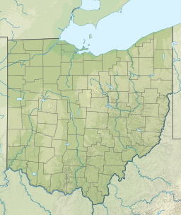
Charles Mill is a reservoir located in central Ohio near the junction of State Routes 430 and 603. Charles Mill Lake is a quiet and enjoyable place for boating, camping, fishing, hunting, or hiking.[3] The lake is located in both Richland County (near Mansfield) and Ashland County (near Mifflin), with the dam located in Ashland County. This lake is located on the Black Fork of the Mohican River. Many local residents refer to Chales Mill Lake as Mifflin Lake due to its proximity to Mifflin, Ohio. The lake primarily sees local use by nearby residents who fish or boat; the marina is accessible from St. Rt. 430.
- ^ U.S. Geological Survey Geographic Names Information System: Charles Mill Lake
- ^ "Charles Mill Dam". U.S. Army Corps of Engineers, Huntington District.
- ^ "Welcome to Charles Mill Lake Park". charlesmillpark.mwcd.org. Retrieved July 28, 2017.

