Chatan
北谷町 | |
|---|---|
Town | |
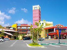
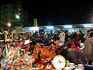
Montage of Chatan | |
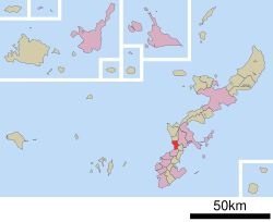
 Location of Chatan in Okinawa Prefecture | |
| Coordinates: 26°19′12″N 127°45′50″E / 26.32000°N 127.76389°E | |
| Country | Japan |
| Region | Kyushu |
| Prefecture | Okinawa Prefecture |
| District | Nakagami |
| Government | |
| • Mayor | Masashi Toguchi |
| Area | |
• Total | 13.62 km2 (5.26 sq mi) |
| Population (October 2016) | |
• Total | 28,578 |
| • Density | 2,100/km2 (5,400/sq mi) |
| Time zone | UTC+09:00 (JST) |
| Website | www |
Chatan (北谷町, Chatan-chō, Okinawan: Chatan, Northern Ryukyuan: きたたん Kitatan) is a town located in Nakagami District, Okinawa Prefecture, Japan.[1] As of October 2016 the town had an estimated population of 28,578 and the density of 2,100 per km².[2] The total area of Chatan is 13.62 square kilometres (5.26 sq mi). 53.5% of the land area of the town is covered by United States military bases.[1][3]


