| Chimney Rock State Park | |
|---|---|
 Chimney Rock, a 315-foot (96 m) gneiss monolith | |
| Location | Rutherford, North Carolina, United States |
| Coordinates | 35°25′59″N 82°15′02″W / 35.43306°N 82.25056°W |
| Area | 8,014 acres (32.43 km2)[1] |
| Elevation | 2,280 ft (690 m) |
| Established | May 4, 2005 |
| Named for | Chimney Rock |
| Governing body | North Carolina Division of Parks and Recreation |
| Website | https://www.ncparks.gov/state-parks/chimney-rock-state-park |
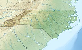
Chimney Rock State Park is a North Carolina state park in Chimney Rock, Rutherford County, North Carolina in the United States. The 8,014-acre (32.43 km2)[1] park is located 25 miles (40 km) southeast of Asheville, North Carolina, and is owned and managed by the state of North Carolina.[2]
The park features hiking trails for all skill levels, views of the Devil's Head balancing rock, and a 404-foot (123 m) waterfall, Hickory Nut Falls. Its most notable feature is a 315-foot (96 m) gneiss monolith named Chimney Rock, which is accessible by elevator and provides views of the park and surrounding countryside.
- ^ a b Cite error: The named reference
ParkSizewas invoked but never defined (see the help page). - ^ "Sale Frequently Asked Questions". Chimney Rock at Chimney Rock State Park. Archived from the original on December 23, 2007. Retrieved January 28, 2008.

