You can help expand this article with text translated from the corresponding article in Spanish. (January 2023) Click [show] for important translation instructions.
|
Chiquimula Department
Departmento de Chiquimula | |
|---|---|
 Collage of Chiquimula | |
| Coordinates: 14°47′58″N 89°32′37″W / 14.79944°N 89.54361°W | |
| Country | |
| Capital | Chiquimula |
| Municipalities | 11[1] |
| Government | |
| • Type | Departmental |
| Area | |
| 2,376 km2 (917 sq mi) | |
| Elevation | 424 m (1,391 ft) |
| Population (2018)[3] | |
| 415,063 | |
| • Density | 170/km2 (450/sq mi) |
| • Urban | 155,171 |
| • Ethnicities | Chorti Ladino |
| • Languages | Chorti Spanish[2] |
| Time zone | UTC-6 |
| ISO 3166 code | GT-CQ |
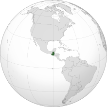
Chiquimula is one of the 22 departments of Guatemala, in Central America.[1] The departmental capital is also called Chiquimula.[2] The department was established by decree in 1871, and forms a part of the southeastern region of Guatemala. Physically, it is mountainous, with a climate that varies between tropical and temperate, depending on the location.
Cite error: There are <ref group=lower-alpha> tags or {{efn}} templates on this page, but the references will not show without a {{reflist|group=lower-alpha}} template or {{notelist}} template (see the help page).


