Chollas View, San Diego | |
|---|---|
| Chollas View | |
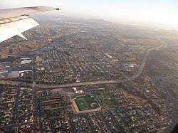
 2014 aerial photo of Chollas View | |
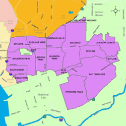
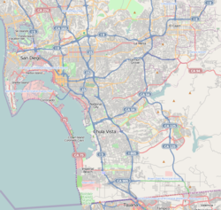
 Chollas View is located in the southeastern area of the city of San Diego | |
| Coordinates: 32°42′44″N 117°05′39″W / 32.7121°N 117.0941°W | |
| Country | |
| State | |
| County | |
| City | |
| ZIP Code | 92102 |
Chollas View is an urban community in the southeastern section of San Diego, California. It is bordered by Webster and California State Route 94 on the north, Mount Hope and Interstate 805 on the west, Emerald Hills and Euclid Avenue on the east, and Lincoln Park and the San Diego Trolley on the south. Major thoroughfares include Market Street and 47th Street.
