Chukai
Chuka | |
|---|---|
Town and district capital | |
| Chukai Town Bandar Chukai | |
| Other transcription(s) | |
| • Jawi | چوكاي |
| • Chinese | 朱盖 (Simplified) 朱蓋 (Traditional) Zhūgài (Hanyu Pinyin) |
 Chukai, Kemaman, Terengganu | |
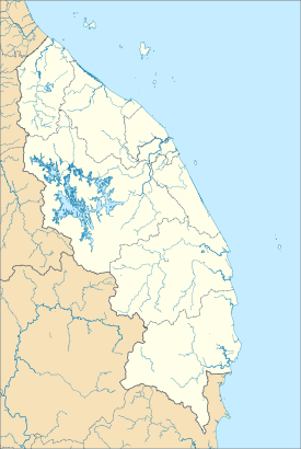
 Location of Chukai in Terengganu | |
| Coordinates: 4°15′N 103°25′E / 4.250°N 103.417°E | |
| Country | |
| State | |
| District | Kemaman |
| Establishment of local government | 1942 |
| Establishment of town board | 1953 |
| Establishment of town council | 1973 |
| Establishment of district council | 1 January 1981 |
| Municipality status | 1 January 2002 |
| Government | |
| • Type | Municipal council |
| • Body | Kemaman Municipal Council |
| Area | |
• Total | 500 km2 (200 sq mi) |
| Population (2017) | |
• Total | 171,539 (2nd)[1] |
| Time zone | UTC+8 (Malaysian Standard Time) |
| Postcode | 24xxx |

Chukai (Terengganu Malay: Chuka), also known by the name of Kemaman Town (Malay: Bandar Kemaman, Terengganu Malay: Bando Mamang), is a mukim and capital of Kemaman District, Terengganu, Malaysia.
The name "Chukai" (proper spelling of the Malay word: cukai) means 'taxes' in Malay. The town is so named due to its position near the estuary of the Kemaman River, whereby taxes and levies were imposed on riverine traffic, especially during the British colonial period. Chukai is the largest town in southern Terengganu, and its position between the state capitals of Kuantan and Kuala Terengganu as well as proximity to the oil town of Kerteh has turned Chukai into a major commercial hub for the region. The nearby Kemaman Port serves both as a fishing port and supply base for oil platforms off Terengganu's coast.
- ^ Dept. of Urban and Rural Planning, Terengganu State Government. Rancangan Struktur Negeri Terengganu 2005-2015 (Malay), 2005


