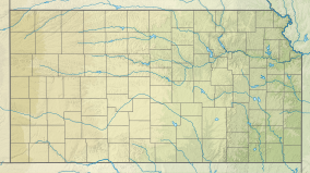
| Cimarron National Grassland | |
|---|---|
 Plant cover on sandy soils of the Cimarron National Grassland. | |
| Location | Elkhart, Kansas, Kansas, United States |
| Coordinates | 37°07′27″N 101°47′24″W / 37.12417°N 101.79000°W |
| Area | 108,175 acres (437.77 km2) |
| Elevation | 1,033 m (3,389 ft) |
| Established | United States National Grassland |
| Operator | U.S. Forest Service, Kansas Department of Wildlife, Parks and Tourism |
| Website | www |
Cimarron National Grassland is a National Grassland located in Morton County, Kansas, United States, with a very small part extending eastward into Stevens County. Cimarron National Grassland is located near Comanche National Grassland which is across the border in Colorado. The grassland is administered by the Forest Service together with the Pike and San Isabel National Forests and the Comanche National Grassland, from common headquarters located in Pueblo, Colorado. There are local ranger district offices in Elkhart, Kansas. The grassland is the largest area of public land in the state of Kansas.[1]
- ^ "Cimarron National Grassland". Leisure and Sports Review. Retrieved January 9, 2011.
